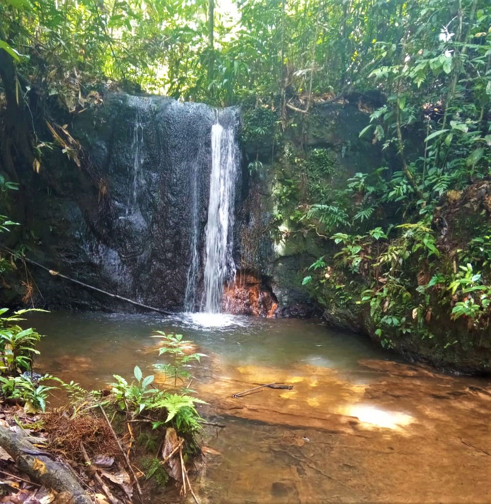
The UNITOR REDD+ Project locates in Lábrea, Amazonas State, Brazil, the municipality with the fourth highest aggregate rate of deforestation in Brazil between 2008 – 2020, according to PRODES data. Municipal deforestation rates have increased yearly, from 3.8% in 2017 to 5.3% in 2020, making this a priority area for forest conservation worldwide. A new consortium of 15 neighboring rural properties makes up the Unitor REDD+ Project area, together covering 99,035.20 ha of forest area, to develop forest carbon activities under the guidance and inspiration of the nearby Fortaleza Ituxi REDD Project.
Not only has the natural ecosystem been extensively damaged in the Labrea region, but land use changes have also caused severe social conflicts through land encroachment, expansion of agriculture, and livestock activity, contributing to the expulsion of extractivist communities in the region. Deforestation in Labrea is strongly correlated with road proximity, along with a recent increase in deforestation rates in the Project's Reference Regions has been attributed to the "Jequitibá" and "Ramal dos Bois" roads. This second is 100km long and goes a distance of 4km from the Project Area, and has connections with roads that cross the Project Area.
Upon project approval, landowners will implement mechanisms to ensure surveillance within the Project Area. Specifically, there are six deforestation surveillance posts placed around the properties, with the expectation that nine more stations will be installed after the carbon credits sales (one in each of the properties), adding to the efforts to control deforestation already underway in the neighboring Ituxi REDD project.
To know more about UNITOR Project at Verra's website,
click here.


